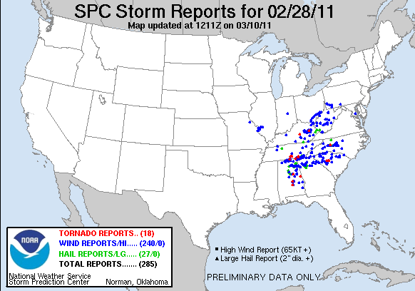
For details on all of the reports, go to http://www.spc.noaa.gov/climo/reports/110228_rpts.html.
Now we are in a calm period where high pressure is really signifying the weather the Southeast is experiencing with calm to light winds, temperatures gradually warming up, and clouds being thin and scattered about. For the ones that enjoy this kind of weather enjoy it while it lasts because when Friday comes around it will be a similar event as Monday was. Another cold front will be sweeping through the Southeast region once again making way for some more showers, thunderstorms, and always the possibility of severe weather. Here is a surface forecast for Friday morning to Friday evening.


Friday morning some moisture along with some precipitation starts to come in from the Gulf of Mexico ahead of the cold front in the Great Plains and a surface low off the Louisiana Coast. The moisture and precipitation will continue to be pushed inland from the Gulf of Mexico as the cold front in the Great Plains advances easteward. It may not seem like much just by looking at these images, but here is something to be concerned with.

The bubble of slight risk of severe thunderstorms is something to watch out for. You are probably thinking that this is only a slight risk and chances are not high enough to be concerned about. This slight risk was issued by SPC in their day 3 severe thunderstorm outlook. That is 3 days ahead and they are already preparing for the chance of severe weather. Something to keep an eye out for. Lets go further ahead into the weekend on Saturday morning and Sunday morning with the surface forecast.

Saturday morning shows the surface low continuing its eastward movement with a frontal trough, which is the orange dash line ahead of the cold front. Typically this is where thunderstorms and severe weather will develop if it is ahead of the cold front and cloudy skies behind it before the cold front comes through. If all of the conditions are right, then we could be expecting an interesting event to unfold for the Southeast. By the time Sunday morning comes around this is what it is forecasted to look like.

The low pressure system and its fronts have moved closer to the Atlantic Coast spreading rain, with some chances of mixed precipitation further north, all along the coastline. Although that concerns the eastern part of the Southeast region, what's behind it is just as important. The deep trough in the Great Plains is a surge of cold air that will be cooling down the southern parts of the U.S. with cold temperatures that hasn't been seen since the last snow event. This surge of cold air will continue to move eastward over the Southeast region by Monday morning giving the beginning of next weeks work week to be rather chilly.
Overall, lets just enjoy today and tomorrow and keep an eye on the weather for Friday and Saturday for the Southeast and along the Atlantic Coast as the weekend draws to an end. Since warm weather is present and spring is practically in place for most of the U.S. severe weather is always a possibility because of the warm, moist air towards the Equator is wanting to push northward and the cold air from the Arctic is wanting to push southward.
No comments:
Post a Comment